- English
- Español
Languages:
This site is created using Wikimapia data. Wikimapia is an open-content collaborative map project contributed by volunteers around the world. It contains information about 32594120 places and counting.
Learn more about Wikimapia and cityguides.
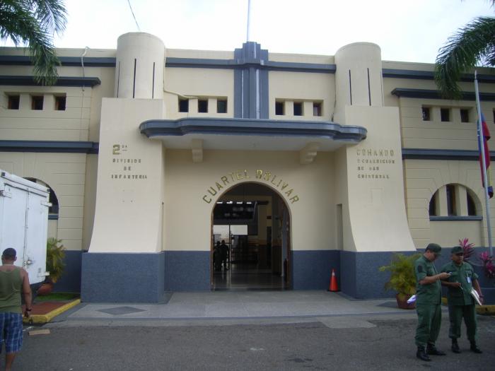
San Cristobal
Currently the urban area is formed by the towns of San Cristobal (mun. San Cristóbal); Táriba, Barrancas, Las Vegas, El Mirador, Tucapé, Arjona (mun. Cárdenas); Palmira, El Abejal, Patiecitos (mun. Guásimos) although with its own identity, form a unitary conurbation of more than 847,000 people with a common socio-economic life, directly on the metropolitan area of San Cristobal. It is located 850 meters above sea level. It is the capital of the State TACHIRA.
Wikipedia article: http://en.wikipedia.org/wiki/San_Cristóbal,_Táchira
San Cristobal on the map.

Recent city comments: